March 31st, 2025 Local News
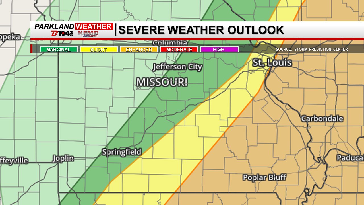
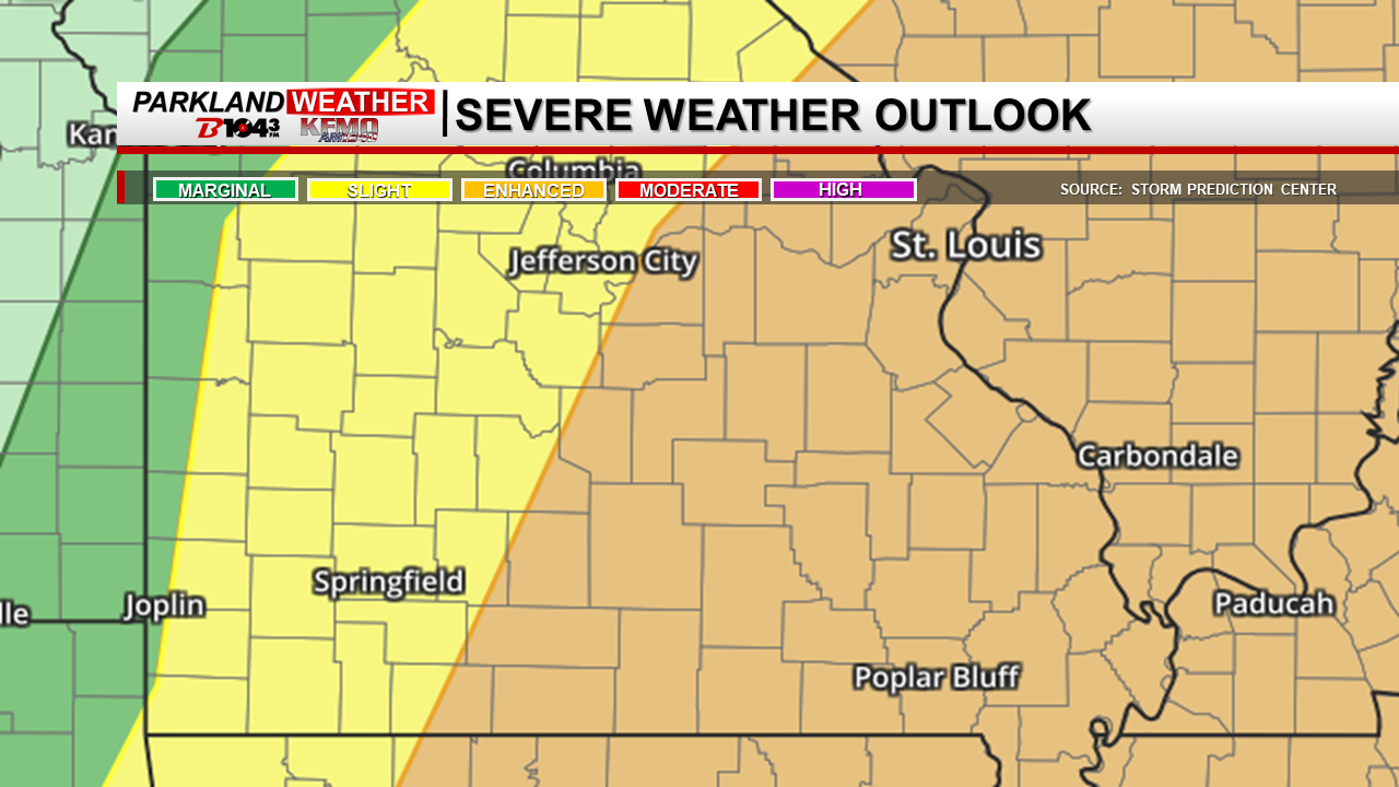
Park Hills, Mo. (KFMO) - Residents of eastern Missouri and southwest/south-central Illinois should prepare for potentially dangerous severe weather this weekend, with the highest risk occurring Sunday afternoon and evening.
Saturday Night Storms:
Strong thunderstorms are expected to develop late Saturday night, primarily after 1 a.m., as they move into central and northeast Missouri. While uncertainty remains regarding their intensity, large hail and damaging wind gusts are possible.
Sunday’s Severe Weather Threat:
The greater concern is Sunday, when conditions appear increasingly favorable for severe thunderstorms. These storms could produce very large hail—possibly exceeding 2 inches in diameter, damaging winds over 70 mph, and even a few tornadoes, including the potential for strong EF-2 or greater tornadoes.
The exact timing and location of the storms remain somewhat uncertain, but current forecasts indicate the most significant risk will be in eastern Missouri and southwest/south-central Illinois during the afternoon and evening hours.
Residents are encouraged to stay weather-aware, have multiple ways to receive warnings, and prepare for potentially dangerous conditions. Updates will be provided as more details become available.